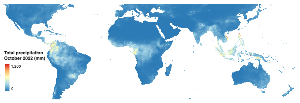
Weather and climate: CHIRPS
Climate Hazards Group InfraRed Precipitation with Station data (CHIRPS) is a 35-plus year quasi-global rainfall data set. Spanning 50S-50N (and all longitudes) and ranging from 1981 to near-present, CHIRPS incorporates our in-house climatology, CHPclim, 0.05 degree resolution satellite imagery, and in-situ station data to create gridded rainfall time series for trend analysis and seasonal drought monitoring. To learn more about CHIRPS, read Funk et al. (2015).
Dataset characteristics
- Spatial resolution: 0.05 x 0.05 degree
- Spatial coverage: 50ºN to 50ºS
- Temporal resolution: daily
- Temporal coverage:1981-present
- Update frequency / latency: 30 days
- Version: 2.0
- License: Creative Commons
- Official website: https://www.chc.ucsb.edu/data/chirps/